On May 20, 2013 an EF5 tornado cut through Moore, Oklahoma. With 23 fatalities, it was the deadliest twister since the Joplin, Missouri Tornado in May 2011. It stayed on the ground for 39 minutes and travelled 17 miles with peak winds hitting 210mph (~340km/h).
Here is a wide-view where the debris and destruction path can be seen as the faint tan line that runs just south of the "Moore" label:

When seen up close in Google Earth, I was able to trace the more obvious parts of the path from one end to the other:

The tornado path extends farther southwest, but the trail is not as obvious where the tornado was still weak
This is Briarwood Elementary School where the tornado had just previously reached EF5 status before leveling the building:

After Briarwood Elementary, the tornado continued through a neighborhood where it reached its peak winds of 200-210 mph and caused extreme damage:
The tornado continued east and arrived as an EF4 at Plaza Towers Elementary where 7 children were killed:

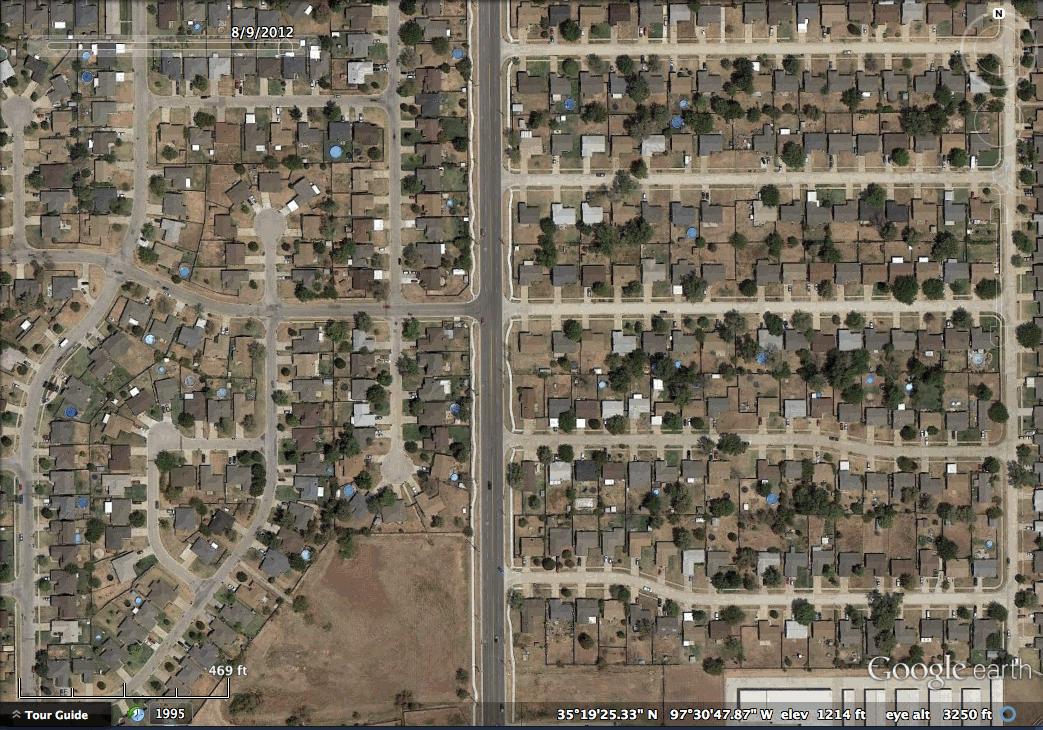
The tornado crossed highway I-35 and continued through southeastern Moore and eventually began to dissipate in the sparsely populated fields east of town. It left an apocalyptic scene that haunted the media the next few days.
In late 2008, I had returned home to Houston a few weeks after Hurricane Ike and remember seeing the blue tarps covering damaged rooftops as the plane descended into the city. These blue tarps cover many roofs in Moore, Oklahoma as well:

You can find it yourself on Google Earth using these coords: 35°19'28"N 97°30'30"W
Check back in two weeks to see the devastation of a large explosion.
No comments:
Post a Comment